Theme 3: Remote sensing and photogrammetric analysis of glaciers
- Analysis of ASTER and Landsat7 imagery of glacier dynamics in the Yukon Territory and East Greenland. In 2003 I joined the Global Land Ice Measurements from Space (GLIMS) consortium and I am steward for ice masses in Central East Greenland and the Yukon Territory. I analysed tributary-trunk interactions in the Yukon Territory (Kargel et al., 2005) and contributed East Greenland Glacier Inventory data to the GLIMS Glacier Database. These data can be found on the GLIMS Web Mapping Service (http://glims.colorado.edu/glacierdata/).
- Contribution to a Vectra-data project involving the analysis of ERS satellite InSAR and intensity images as well as Landsat-7 images to provide source data for a multivariate statistical analysis of the surge potential of glaciers in central East Greenland (Jiskoot et al., 2003; Luckman et al., 2003).
- Analysis of ERS-1/2 InSAR velocity, DTM and backscatter data of Monacobreen, Svalbard for analysis of the spatio-temporal velocity patterns during a glacier surge (Murray et al., 2003).
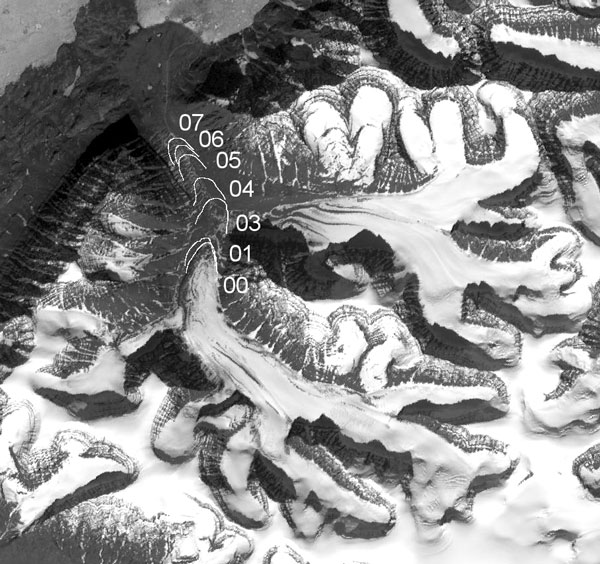
- Multi-model photogrammetric analysis of surges of Sortebræ, East Greenland (Jiskoot et al., 2001): measurements of vertical and horizontal displacement, calving rates and surface morphology.
- Measurement of surge behaviour using remote sensing techniques, and derivation of surge mechanism for a small East Greenland glacier (Jiskoot & Juhlin, 2009).