Saturday, July 16, 2011 Lethbridge
5:30 am
The temperature is +9 C, with a high predicted of +28 C.
From the Environment Canada website: Today Mainly sunny. Wind west 20 km/h becoming southeast 20 late this morning. High 28. UV index 7 or high. Tonight Clear. Becoming partly cloudy overnight. Wind southeast 20 km/h becoming light near midnight. Low 12. Normals Max: 26°C Min: 11°C.
5:40 am Morning Musings
The coffee tastes good. The robins are chirping outside the back window. The sky is clear and there is no wind. What more could one ask for?
Earlier this week we were notified that our Rav4 is expected the last week in July. Good. Now we can begin making a few plans for August.
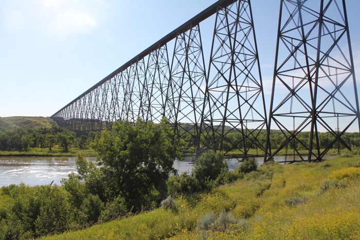
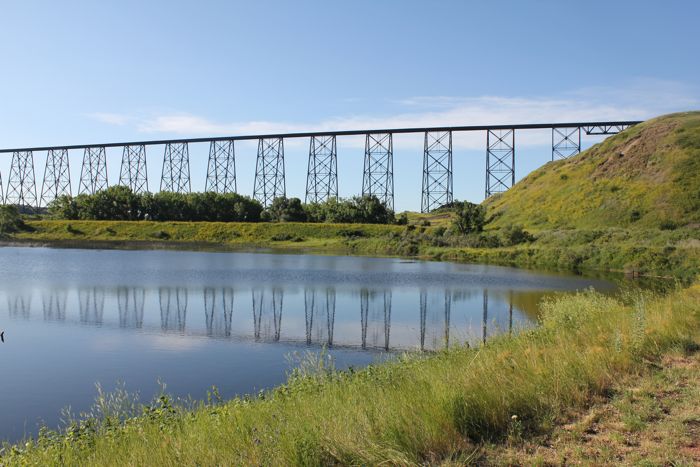
I am getting the hang of my new Montana GPS unit. I will try it in pedestrian mode this morning and see if I can find a local geocache near the Elizabeth Hall wetlands. This is a short drive and a pleasant walk to near the base of the high level bridge. I will take my camera and look for birds at the same time. Photography, birding and geocaching - the perfect triumvirate.
Another three-some is the division of a trip into planning-execution-report. I now have a new software package (free) from Garmin called BaseCamp that should add a whole new dimension to both planning and reporting on my various trips (both geocaching and touristing). I just realized that there is a library of sequences on you-tube that demonstrate how to use BaseCamp to accomplish various tasks. This should keep me busy for awhile.
But I want to begin with the simple task of using the Montana 600 to find a geocache. The idea will be to use the BackRoads map to locate a specific cache that has been downloaded onto the unit from the geocaching.com web site.
11:00 am Geocaching
I took my Montana 600 out for its first geocaching adventure this morning.
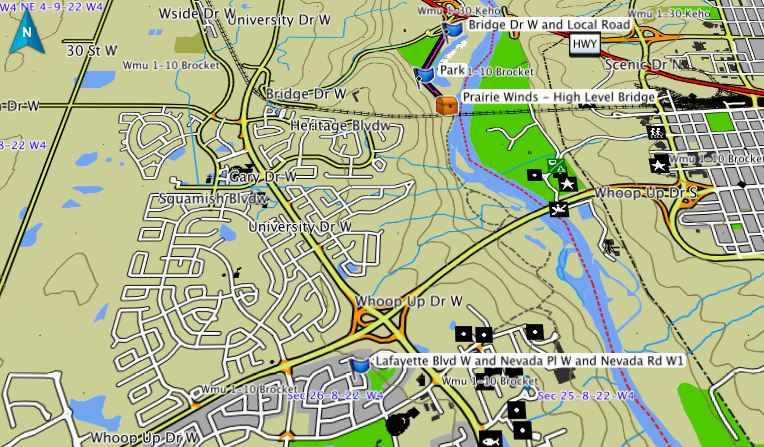
- GC2XE7Z Prairie Winds - High Level Bridge
A review of the cache description and the map showing its description from the geocaching.com website gave me a pretty good idea of about where it would be found. Thus I parked the truck at the Elizabeth Hall Wetlands parking lot and then turned the Montana on. The compass display indicated that the cache was 795 m away, almost due south. As soon as I began walking the distance began to decrease. This is a much better display of what I need to know and what I should do next than the displays I worked with while using the Garmin nuvi. Continuing along the red shale path I was soon within 2 m of the cache. There were 2 shrubs to choose from but as I walked between them the compass clearly indicated that the cache was in the southern shrub. This is not always reliable as it depends on how accurate the initial coordinates for the cache are, but in this case it worked like a charm.
I reached in and pulled out the ammo can container, which caught me by surprise. The logs of previous searchers for this cache indicated that it was missing and had been replaced by a lock-n-lock container. It seems that some of the searchers may have found a nearby cache.
The countdown continues: my life-total is now 997, only 3 more finds to reach 1000. I have selected 2 "personally special" caches for numbers 999 and 1000, but that still leaves one more before I try for the last 2.
I was delighted with my first field use of the Montana 600. It is going to make my searching much easier than it was with the nuvi.
Here is a screen capture of the Backroads Map on my Mac:
11:00 am Birding
After I found the cache I focused on trying to identify a few birds on the way back. I saw a few Canada Geese (8), Redwing Blackbird (6), American Robin (3), Gray Catbird (1), Tree Swallow (5), Bohemian Waxwing (2), Cedar Waxwing (1), American Goldfinch (2), Yellow Warbler (3) and a Northern Harrier (1).
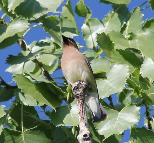
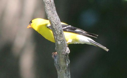
I submitted a report to eBird for this trip. This is my first report since May 31.
11:00 am Photography
I also tried to take a couple of photographs that showed some sense of composition while on the trip.
