

I will advertise when new opportunities arise!
Interested in Climate Change?
Check this web site out that I put together with Christine Clark from New Media: albertaclimaterecords.com
Biography
I am a physical geographer who, from early on, specialized in water resources research and cartography (and later GIS), my professional career has originally focused on hydrology. Starting at the German Agency for Technical Cooperation, working in Peru on a hydrological project, I continued at the Hydrological Research Institute in South Africa, before joining the Department of Agricultural Engineering at the University of KwaZulu-Natal, also in South Africa. With the advent of geographical information systems (GIS) in the late 1980s, I immediately embraced the power of spatial analysis to support hydro-climatological analyses and modelling. From 1990 onwards, I have combined hydrology and GIS work both in consulting and at research institutions in South Africa, Germany, Alberta, and eventually the University of Lethbridge.
Early GIS research at the U of L included bird habitat
mapping, the development of a licensed specialized GIS
software to correct a digital elevation model (DEM) for
roads and canals (60 citations, licensed 22 times in 9
countries – see details in Appendix C), and a study of the
effect of grid cell size of a DEM on a range of terrain
derivatives (over 120 citations). Today, I am collaborating
in graduate research at the Departments of Biological
Sciences (parasitology) and Psychology (primate habitat and
movement), because the acquisition of spatial data and
consequent spatial analyses are essential components in
those research projects. Motivated by the lack of readily
available hydro-climatological data for the calculation of
potential and actual evapotranspiration, soil moisture
deficits, groundwater recharge, and crop modelling, I am in
the process of establishing a hydro-climatological atlas of
Alberta, including high resolution (200m by 200m) maps of
solar radiation and sunshine hours. The latest series of
maps are non-parametric trends and return periods of 30
climate indices for Alberta, based on daily instrumental
records from 1950 to 2010 at a spatial resolution of 10 by
10km (7000 grid cells in total for the province). My close
collaboration with the University of Regina will soon result
in a daily hydro-climatological dataset covering the period
from 1941 to 2070, thus enabling the calculation of trends
and risk analysis for future decades and providing water
resources managers and decision makers with critically
needed information.
Since 1990, I have been further developing and applying the ACRU agro-hydrological modelling system. Some important research publications emanated from my early work, including a comprehensive water resources assessment of the Mgeni River watershed upstream of Durban, South Africa, a watershed of major importance, and the impact of afforestation on groundwater resources in Zululand. In 2006 I added a snow routine to the South African ACRU model, which enabled me and my graduate students to apply ACRU in cold climates. Ever since, ACRU has been used to simulate past, present and future hydrological behaviour of watersheds in New Zealand (two watersheds), the USA, and Canada, focusing on Alberta.
I have developed new hydrological procedures, such as
developing new methods to separate snow and rain from daily
precipitation data, or estimating air temperature in complex
mountain terrain, or correcting for common
area-underestimation on hydrological behaviour. Verification
analysis is a critical part of hydrological simulations to
ensure that a model is representing reality for the correct
reasons, and I have developed methods to verify model output
not only against observed streamflow, but also against
independently observed air temperature, snow observations,
and groundwater flow. Through this hydrological modelling
work.
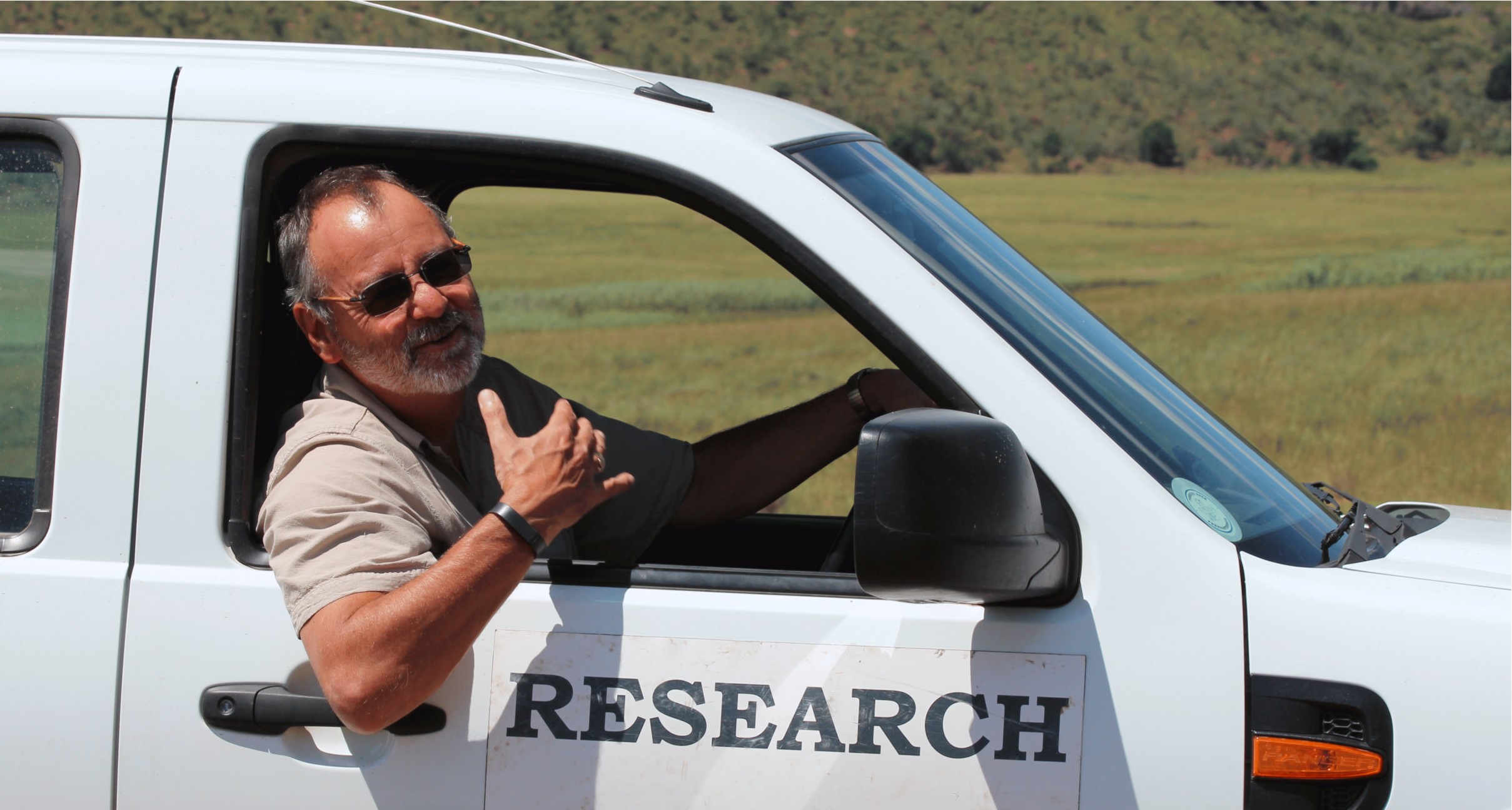
I lived and worked in South Africa between 1987 and 1995, and visited South African wildlife reserves annually for extended periods since 2010, during which time I have developed a passion for Conservation GIS. Consequently, my added research direction is the implementation of GIS of private wildlife reserves for decision support and improved management of the precious refuges for Africa's megafauna.