Oct20/2010 |
Geocache Activity 936 |
FIND 866 |
IDENTIFICATION
Difficulty 1.5; Terrain 2.5; size regular; Creator: Stamp-Hatter Date First Hidden: 11/16/2008 Date Last Found: 9/19/2010 Description Located off of a paved trail. Decent sized L n' L. Camo painted. Water has to get to where it wants to go and this is an example. Often referred to as a draw, hence the name. Cache is out of sight of local residences, but stealth should still be used. Cache may be difficult to find following a heavy snow fall. Nice semi-wild area. Try not to leave an obvious trail if snow is on the ground...lol Hint Comments
PLANNING
This was a new experiment for me. I had downloaded a large number of caches in the Medicine Hat area to my GPS unit using a pocket query. I then headed out and as I approached a cache icon on my GPS I would enter the GC code into my iPhone to obtain a description and the coordinates. I was curious to see how well this would work.
OUTCOME
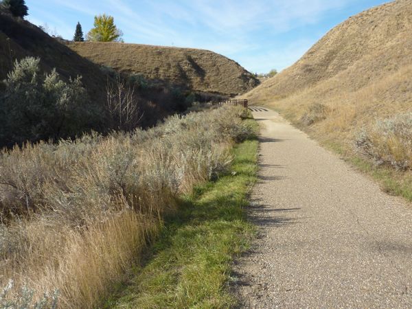
2:55 PM This was my 15th search. I left Lethbridge at 7:10 am. This was at the bottom of a side ravine of the coulee. It made for a good walk along a good path. Here is my posting to the geocaching.com website:
I enjoyed the walk into the coulee. Thanks for placing the cache here. TNLNSL. TFTC. Here are a few photos:
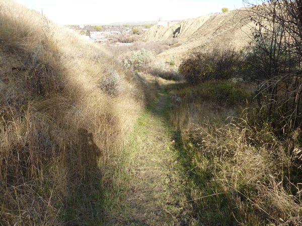
trail down the draw
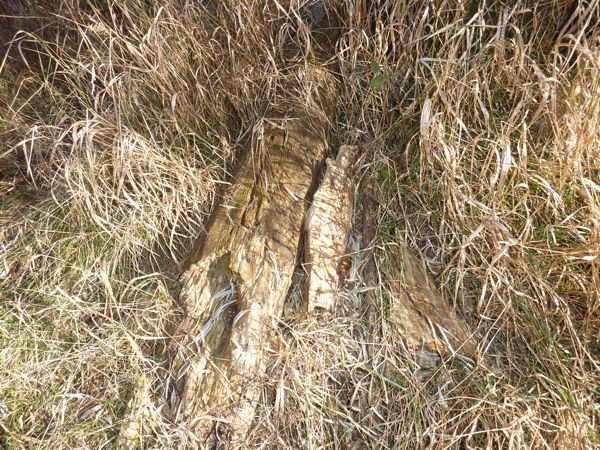
cache location
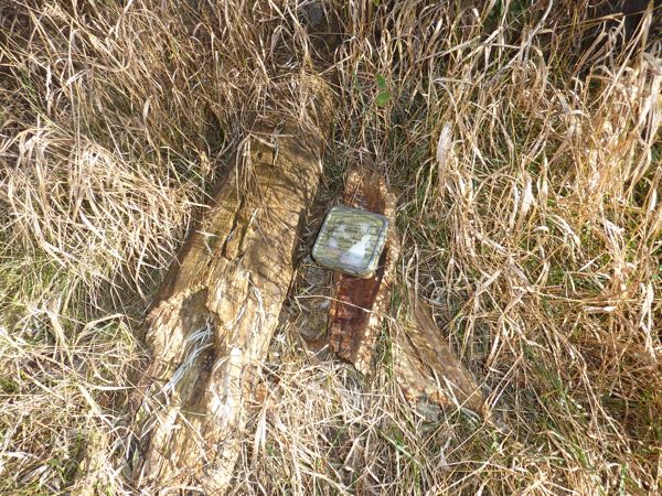
container
paved trail near cache site
I am now 14/15 for today.
