Sept 26/2010 |
Geocache Activity 883 |
FIND 816 |
IDENTIFICATION
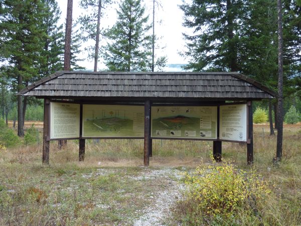
Difficulty 2; Terrain 1.5; size micro; Creator: Groundhog & Shadow Date First Hidden: 5/09/2010 Date Last Found: 9/11/2010 Description This micro, a black bison tube, is hid off of Highway 33 on a pull-out where you'll find lots of information of the Bea Fire. Cache only contains the logbook so you will need to BYOB! The Bea Fire started on July 31, 1989 and burned 666 hectares before it was declared out on September 8. After the fire, a plan was immediately implemented to salvage fire killed trees. Using "cable yarding" and skidder to harvest the logs on the moderate and steep slopes, over 500 truck loads of wood were logged and utilized. Immediately after the fire, a helicopter was used to grass seed the area. The grass helps to stabilize the soil on the slopes and prevent erosion. Larch, pine and fir seedlings were planted on the moderate slopes, and the steep slopes were replanted with pine and larch seedlings. The lower slopes were left for nature to reforest. The Bea Fire has become a basis for a computer model of fires burning-across a slope - by Forestry Canada and it also become a case history study for senior fire personnel across Canada. If you don't have time to read the signage, you can look below at the photos we took and read them.
Hint Comments
PLANNING
This was a travel day as we drive from Kelowna to Nelson, BC. I identified 8 caches along our route. Then, depending on the time, I may add a few more while we are in Nelson.
OUTCOME
10:00 am. This was my 3rd search of the day. My GPS was really bouncing at this area. I finally gave up and simply began looking for the cache. This only took a couple of minutes before I spotted it. Here is my posting to the geocaching.com website:
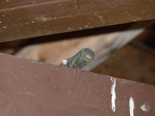
Another good educational site. Thank you. SL. TFTC. Here are two photos:
roadside information display
container on structureI am now 3/3 for today.


