Aug 19/2010 |
Geocache Activity 823 |
FIND 760 |
IDENTIFICATION
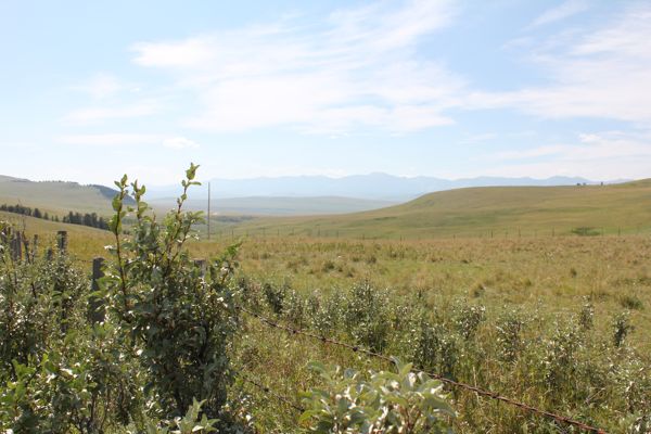
Difficulty 1; Terrain 1.5; size regular; Creator: Sleepy_hollow Date First Hidden: 7/01/2007 Date Last Found: 6/13/2010 Description The Mountain View Cache is located a few metres off a well maintained gravel road in a spot offering a pleasant view of the mountains. The only minor terrain issue will be the shallow ditch crossing to the cache site. Come out and enjoy a drive in the country with a splendid view of the mountains and near by ranches.
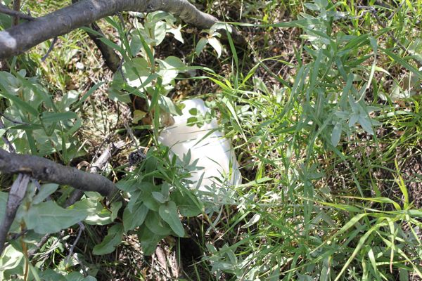
Hint Base of bush Comments
PLANNING
I set up a route that would involve 12 geocaches along Highway 22 north of Pincher Creek. I also made note of 4 caches in Claresholm in the event that I had time left after the first 12 had been searched. The intent was the simple one of trying to clear the southern end of the valley between the Porcupine Hills on the east and the Livingstone Range on the west of all "unfound" caches. I left home about 7:30 am.
OUTCOME
2:50 PM This was my 12th, and final, search of the day. This was the cache that gave me difficulty earlier in the day. It was "behind" the truck when I activated my GPS from find #3 and since I didn't realize this I began moving away from it. My GPS then recalculated a route that began by taking into account the direction I was heading and sent me on the nearest route which involved sending me up into the Porcupine Hills. There is a lesson to be learned here about how my GPS determines a route.
Here is my posting to the geocaching.com website:
I failed to turn my vehicle around about 5 hours earlier and thus this became find #12 instead of find #4. But the route was equally enjoyable in either direction. TNLNSL. TFTC. Here are a few photos:
bush by side of road
container at base of bush
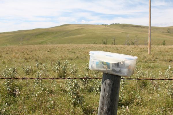
container
nearby ranchland
I am now 12/12 for today. A very good day. Lots of beautiful scenery.


