Aug 19/2010 |
Geocache Activity 822 |
FIND 759 |
IDENTIFICATION
Difficulty 1.5; Terrain 1.5; size small; Creator: Frog & Polywog Date First Hidden: 8/27/2008 Date Last Found: 8/18/2010 Description A school site in the MD of Pincher Creek. Bring your own pen or pencil.
Hint Comments
PLANNING
I set up a route that would involve 12 geocaches along Highway 22 north of Pincher Creek. I also made note of 4 caches in Claresholm in the event that I had time left after the first 12 had been searched. The intent was the simple one of trying to clear the southern end of the valley between the Porcupine Hills on the east and the Livingstone Range on the west of all "unfound" caches. I left home about 7:30 am.
OUTCOME
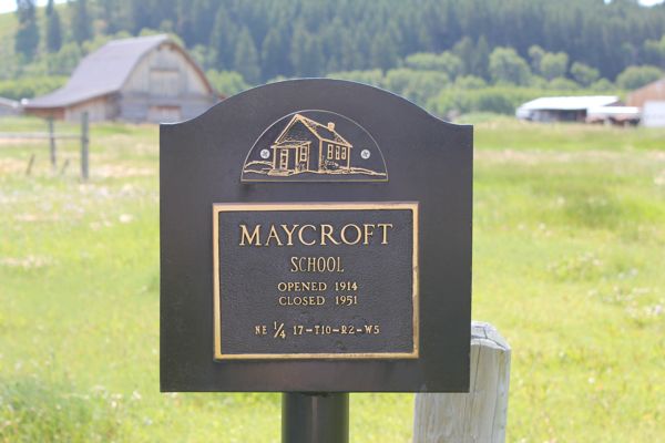
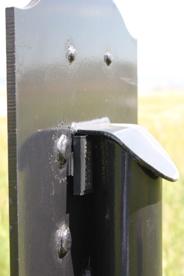
2:25 PM This was my 11th search of the day. The hide followed the conventional principle in this part of the province of a magnetic key holder on a school plaque.
Here is my posting to the geocaching.com website:
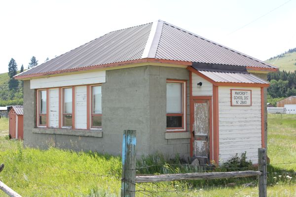
I usually enjoy seeing these old schools, but this one looked cold. SL. TFTC. Here are a few photos:
Raycroft school
school plaque
magnetic key holder
I am now 11/11 for today.


