Aug 19/2010 |
Geocache Activity 819 |
FIND 756 |
IDENTIFICATION
Difficulty 1.5; Terrain 3; size small; Creator: dscanland Date First Hidden: 4/25/2009 Date Last Found: 8/16/2010 Description We couldn't believe there weren't more caches along the 22 route down to the Crowsnest. So we had one packed up and ready to go. This one is a small rubbermaid container suitable for small items and coins. Our GPSr was being strange when I took the coordinates but I think it should be fairly obvious where this one is located. A nice pull out is situated right above the cache location. Note, it is at the bottom of the incline. If you get a better reading, please message it to me and I'll adjust. Didn't make it too hard, we thought this would provide you with a nice break on the long stretch. Enjoy!
Hint Don't tread on me. Comments
PLANNING
I set up a route that would involve 12 geocaches along Highway 22 north of Pincher Creek. I also made note of 4 caches in Claresholm in the event that I had time left after the first 12 had been searched. The intent was the simple one of trying to clear the southern end of the valley between the Porcupine Hills on the east and the Livingstone Range on the west of all "unfound" caches. I left home about 7:30 am.
OUTCOME
1:35 PM This was my 8th search of the day. I am now back on Highway 22, heading south.
Here is my posting to the geocaching.com website:
Always good to stretch the legs. TNLNSL. TFTC. Here are a few photos:
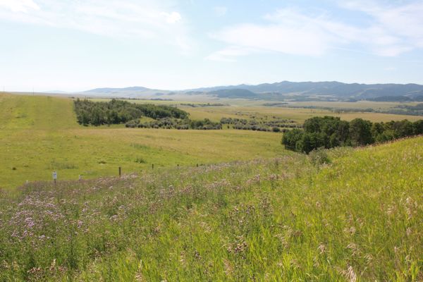
cache is at bottom of hill
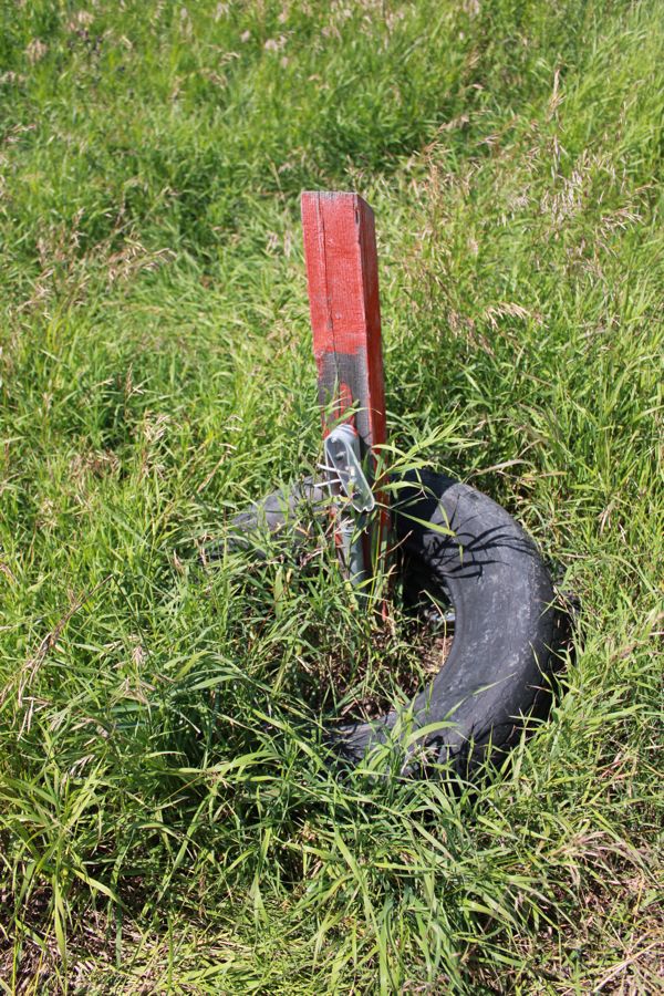
cache location
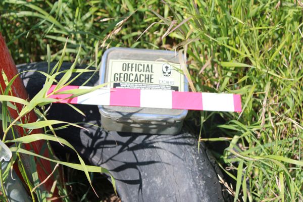
container with 12" ruler
I am now 8/8 for today.
