Aug 19/2010 |
Geocache Activity 818 |
FIND 755 |
IDENTIFICATION
Difficulty 1.5; Terrain 1.5; size regular; Creator: the_mrs Date First Hidden: 4/29/2006 Date Last Found: 7/31/2010 Description the primary roads to access are maintained yr round .. however the actual road you travel to the cache is not maintained and can be challengening the cache is a extra large blue cookie can which has been placed in a heavy duty white bag to protect it from the elements .. at the moment the cache is exploding with treasures to be had .. ftf item located at bottom of cache .. clue to item is that it attaches two vehicles together
Hint you'll drive in off the main road approx 8 k .. the trees will suddenly come to a clearing in the trees and wow the view is spectacular Comments
PLANNING
I set up a route that would involve 12 geocaches along Highway 22 north of Pincher Creek. I also made note of 4 caches in Claresholm in the event that I had time left after the first 12 had been searched. The intent was the simple one of trying to clear the southern end of the valley between the Porcupine Hills on the east and the Livingstone Range on the west of all "unfound" caches. I left home about 7:30 am.
OUTCOME
1:10 PM This was my 7th search of the day. Only 20 minutes from the previous cache. I retrieved a geocoin from this cache and will place it in a new cache in the near future.
Here is my posting to the geocaching.com website:
This my second find after returning from the Fire Lookout cache. The scenery in this part of the province is truly impressive! Took geocoin, left nothing, SL. TFTC. Here are a few photos:
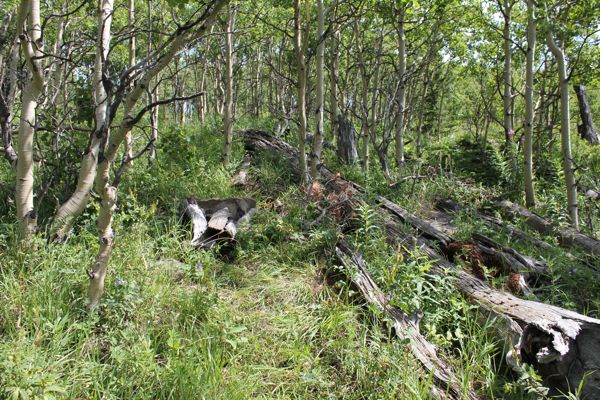
approaching the cache site
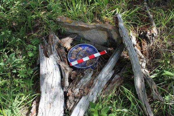
cache lid with 12" ruler
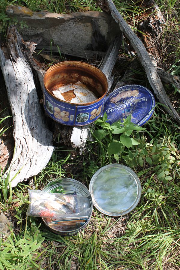
container within a container
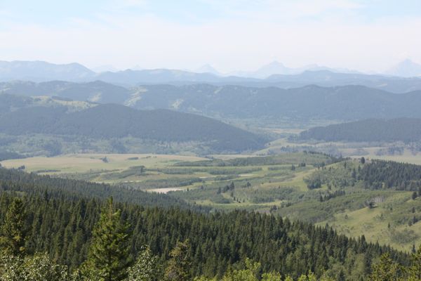
view from clearing
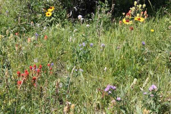
wildflowers in clearing
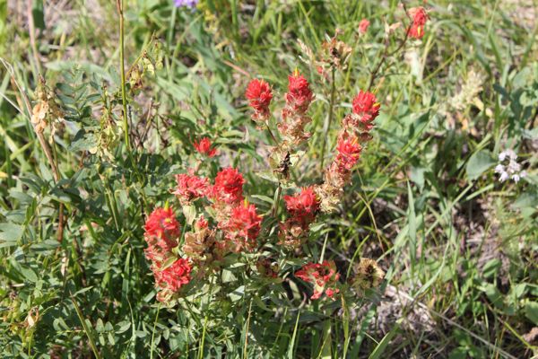
Indian Paintbrushes
I am now 7/7 for today.
