Aug 19/2010 |
Geocache Activity 817 |
FIND 754 |
IDENTIFICATION
Difficulty 1.5; Terrain 2; size small; Creator: GarAr Date First Hidden: 5/22/2005 Date Last Found: 8/16/2010 Description Take a look at the Skyline from here! Take a look at the Skyline from here! Drive on great (but gravelled) secondary connector between Claresholm AB and the 22X highway. Be sure to pull off the main road as best you can and be sure the brakes are in good shape before you do! The cache is small plastic container and matter of fact Our very first cache placed May 22/05! Watch for more caches from GarAr real soon!
Hint Comments
PLANNING
I set up a route that would involve 12 geocaches along Highway 22 north of Pincher Creek. I also made note of 4 caches in Claresholm in the event that I had time left after the first 12 had been searched. The intent was the simple one of trying to clear the southern end of the valley between the Porcupine Hills on the east and the Livingstone Range on the west of all "unfound" caches. I left home about 7:30 am.
OUTCOME
12:50 PM This was my 6th search of the day. It is the first search as I begin my reverse loop of my original planned sequence.
Here is my posting to the geocaching.com website:
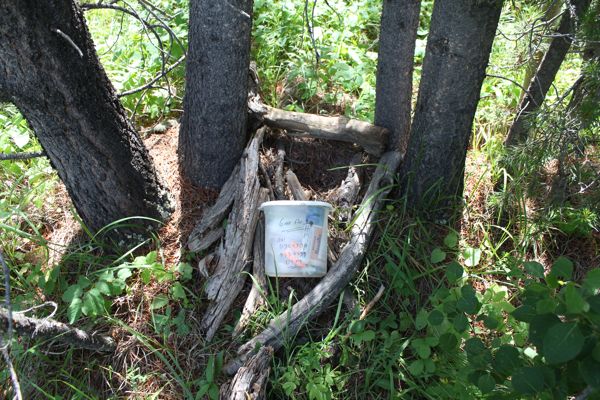
The container had been displaced from its hiding place but was still in good shape. I returned it to the obvious spot. My guess is that a wandering cow put its nose into the hideout. TNLNSL. TFTC. Here are a few photos:
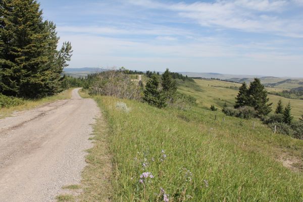
road from Porcupine Lookout to this cache
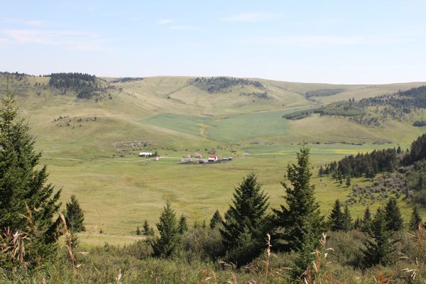
view from road on way to cache
container returned to cache site
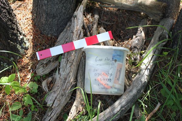
container with 12" ruler
I am now 6/6 for today.
