Aug 16/2010 |
Geocache Activity 809 |
FIND 746 |
IDENTIFICATION
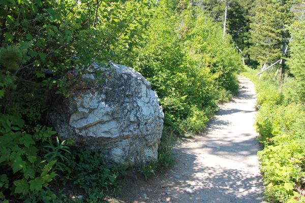
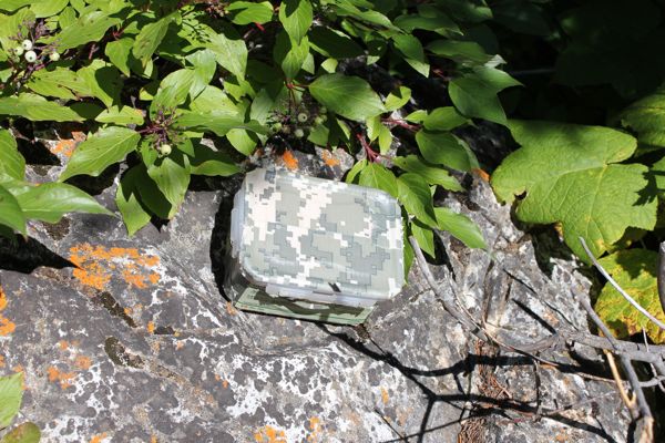
Difficulty 2.5; Terrain 3; size small; Creator: Prairie Cacher Date First Hidden: 8/08/2010 Date Last Found: 8/15/2010 Description Parking at N 49 03.649 W 113 54.548 The hike will challenge you, as it is uphill on a wide hardpacked dirt trail. Watch for rocks and roots that are poking through the dirt. Watch for Muggles as there will be heavy foot traffic, especially on nice sunny summer days! A great place to spend a whole day! Most adults will have no problems with this, but it will raise your heart rate! We saw several families out with smaller children, but you will not be able to use a stroller on this trail, so you will have to carry them or they need to be able to walk. The Cache is located at about the halfway mark of the trail. The terrain gets a little harder as you continue, but it's well worth it to go to the top and see the amazing view of the Mountains and the Lake. Please do not go off-trail! It will damage the pristine environment, and is unnecessary to find the Cache. We would suggest wearing good shoes with closed toes (no flip-flops!) or you may be limping back down to your car. The cache is a small lock-and-lock box wrapped in Camo duct tape. There are no tradeables inside as it is inside a National Park, and we ask that you leave nothing behind but your story in the log book. There are 2 pencils and 2 logbooks (one is just a spare for now). Please leave the pencils inside. They have been pre-sharpened on both ends. Please leave your name, the date, and tell us an amazing story! There is a special prize for the First to Find! Will help with the snack for your next outing! Hint The large white rock's neighbour. No need to go off-trail! Comments
PLANNING
I set up a route last night that would involve a total of 9 searches. I was not sure how many would be possible as three of the searches would involve some hiking, which is often difficult to estimate in terms of time taken. Then there is always the unknown factor of how long it actually takes to spot the cache once one is in the area. And there will also be a fair amount of driving between caches, sometimes on rural gravel roads. It promised to be a full day. But the weather was perfect: sunny, warm, no wind, blue sky.
OUTCOME
1:10 PM This was my 7th search of the day. I was looking forward to another hike up the Bear's Hump.
Here is my posting to the geocaching.com website:
I try to find time for this hike up Bear's Hump whenever I am in the park. It is a good test of my fitness - the trail seems to get longer and steeper each year, but the view from the top is still worth it. It was tempting to turn around after I found the cache but somethings are more important than the "find". Once again the view was stunning. Took geocoin. SL. TFTC. Here are a few photos:
large white rock
containerNow for a few more photos from the trip to the top.
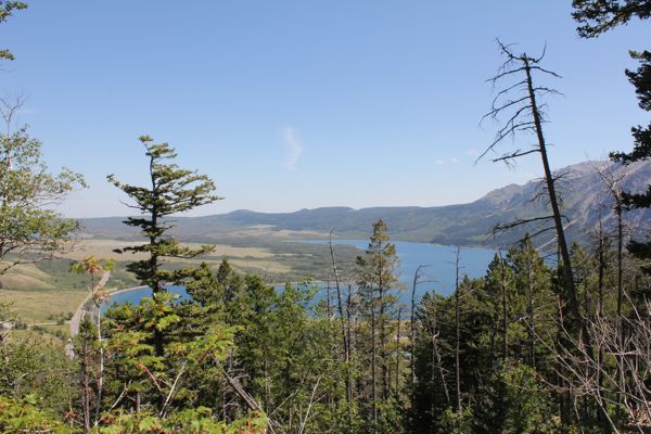
the road on the left is where the trail begins
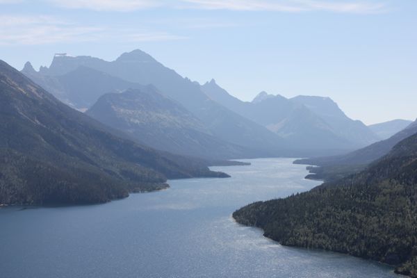
Waterton Lake from the top of Bear's HumpThis was the first time where I made note of the elevation at the start (1317 m) and again at the top (1543 m), for an elevation gain of 226 m (678 ft).
I am now 7/7 for today.
