Aug 16/2010 |
Geocache Activity 806 |
FIND 743 |
IDENTIFICATION
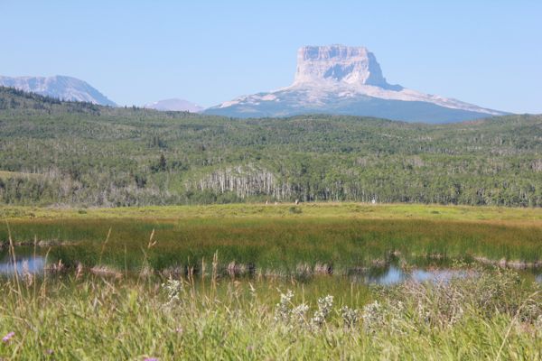
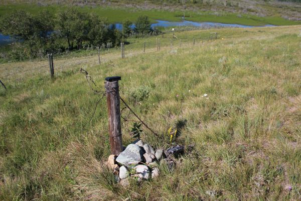
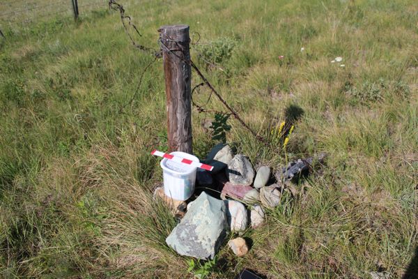
Difficulty 2; Terrain 2; size regular; Creator: venturer Date First Hidden: 5/17/2002 Date Last Found: 8/15/2010 Description The cache is located on the Canada-United States border at an elevation of 1396 metres about a hundred metres from a graveled hiking path. The terrain is generally gently sloping and the hiking is easy. **PLEASE NOTE: The original metal container finally wore out after almost 5 years of service and has been replaced by a clear plastic container of similar size. The area in which this cache is closed to public access from May 1 to July 31 so as not to disturb nesting waterfowl. Please observe this closure and do not access this cache between these dates. Another cache is located in this general area and is open to the public all year. This is a truly international geocache located on the Canada/United States boundary at the southern edge of Police Outpost Provincial Park. This scenic area, located in the foothills of the Rocky Mountains, is not far from the base of Chief Mountain, a famous landmark. Hint The cache is located in a rock cairn beside a solitary fence post in line with the international boundary cutline. Comments
PLANNING
I set up a route last night that would involve a total of 9 searches. I was not sure how many would be possible as three of the searches would involve some hiking, which is often difficult to estimate in terms of time taken. Then there is always the unknown factor of how long it actually takes to spot the cache once one is in the area. And there will also be a fair amount of driving between caches, sometimes on rural gravel roads. It promised to be a full day. But the weather was perfect: sunny, warm, no wind, blue sky.
OUTCOME
10:15 am This was my 4th search of the morning. This was my first hike of the morning. There was no one at the campground and the park appeared deserted as I headed out. I was fortunate to find a trail leading out from the group camping area and followed it around a small marsh, over a rise, and then about a 100 meters across the prairie to the cache area.
Here is my posting to the geocaching.com website:
I have wanted to try for this cache for some time. Today looked like the perfect day for such a venture. A very pleasant walk under ideal conditions. I am curious to see whether geocaching.com gives me credit for an Alberta find or a Montana find. TNLNSL. TFTC.
Here are a few photos:
walking around small marsh
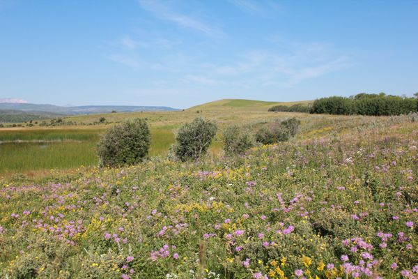
view north toward next cache at top of hill
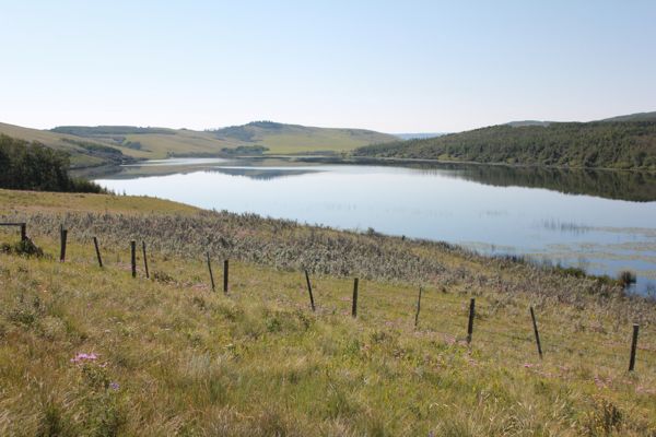
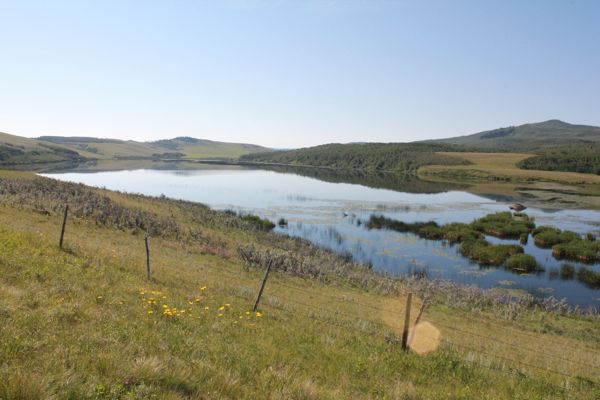
Pike Lake (in the US)
boundary post
container with 12" ruler
Pike Lake from cache site
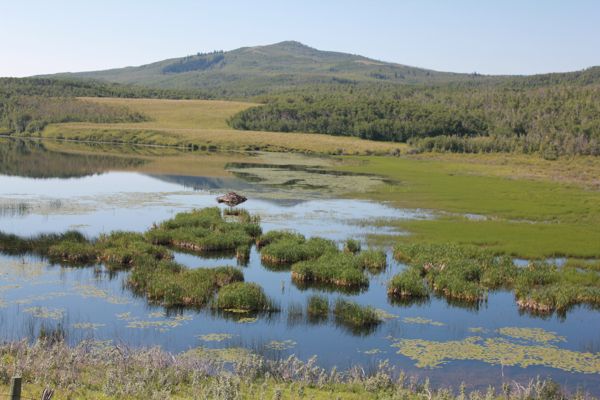
marshes at west end of Pike Lake
I am now 4/4 for today.
