July30/2010 |
Geocache Activity 788 |
FIND 726 |
IDENTIFICATION
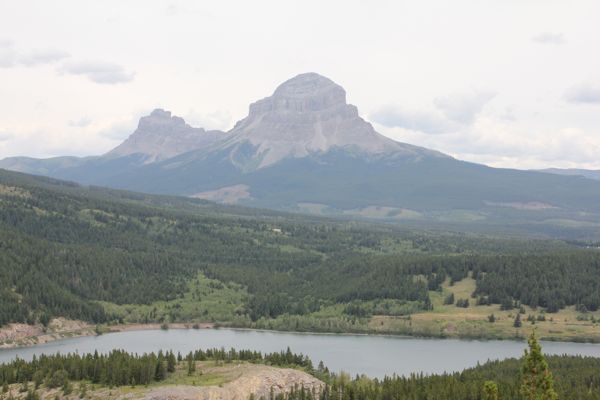
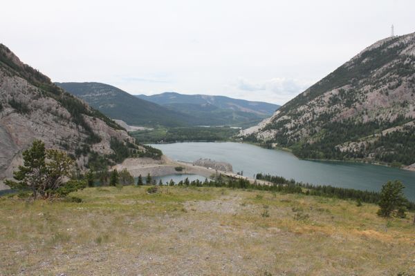
Difficulty 2; Terrain 2.5; size small; Creator: PASSTRACKER Date First Hidden: 6/30/2010 Date Last Found: 7/27/2010 Description This is the third in a series of caches that I planned to release for Canada Day, 2010. The caches will be located throughout the Crowsnest Pass and will encompass the full width and length of the Municipality. This cache is a medium Lock 'n Lock camo'd container full of Canadian souvenir trinkets, from pins, magnets, pencils, pens, lanyards, rings, flags, cards, keychains, etc. A first to find prize is located in the ziplock bag containing the log book. If possible, please relace any items take with others of similar Canadian theme. The cache is located on the ridge between the existing #3 Highway and the abandoned route. It is a short hike from the parking area to the top and offers and incredible view of the Lakes, Crowsnest Mtn, Tecumseh Mt., Sentry Mtn., and Phillips Peak. Looking to the east provides you with a great view of the Crowsnest Valley. Once you have found the cache, take time to enjoy the view. Hope you don't mind the wind! Hint Comments
PLANNING
I created a set of 14 searches for the Crowsnest Pass. However by 1 PM I had visited them all. Two were occupied by muggles and I planned to try them again on the return trip. I used my iPhone to obtain the coordinates for one additional cache, which involved a good hike up a hill. It was 2 PM by the time I was back at the truck, so I headed home with two searches still in front of me. At this point I was 13/13. The final result for the day was 14/15.
OUTCOME
1:40 PM This was my 13th search of the day, and the 4th in the afternoon. The previous search was my last on my list of planned searches but it was still early in the afternoon so I pulled out my iPhone and searched for nearby caches. This was at the top of the list, so I made a note of the coordinates on my GPS. I almost gave the search a pass as I couldn't see an obvious place to park and climb the hill. I decided to head for home but after a few kms realized that this might be a good way to end the day so I turned around and soon found a side road. This turned out to be the highlight of the day! It was a good hike, up a steep hill (at least from where I parked the truck), and the view was fantastic.
Here is my posting to the geocaching.com website:
This was fun - definitely not a park and grab. TNLNSL. TFTC. Here are a few photos.
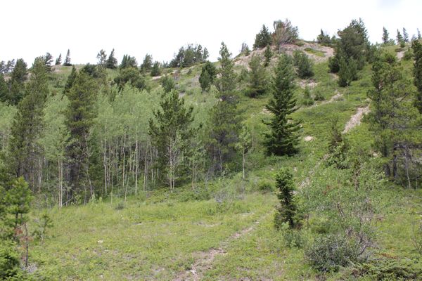
looking up the hill
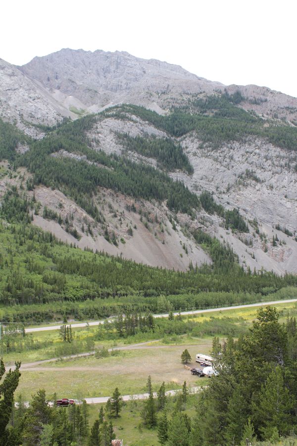
looking down the hill (truck is on the left)
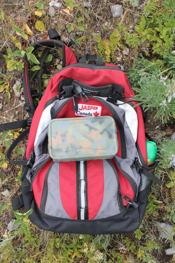
container
Crowsnest Mountain
view of lake looking north
view looking west
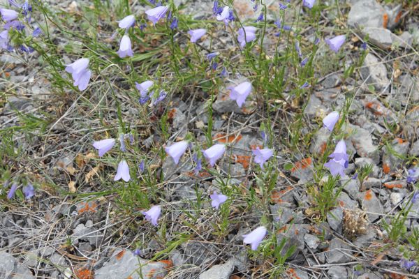
Harebells
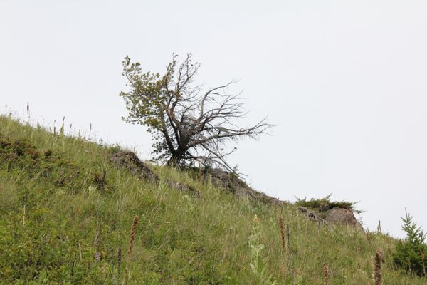
wind effect
I am now 13/13 for today.
