July20/2010 |
Geocache Activity 767 |
FIND 706 |
IDENTIFICATION
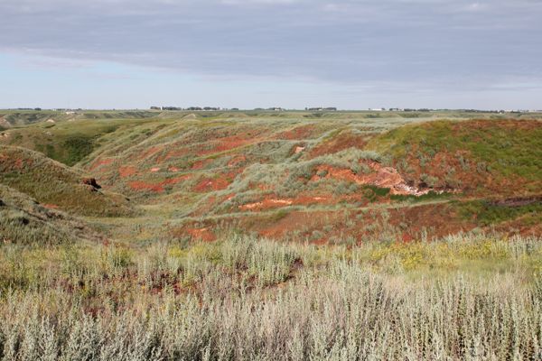
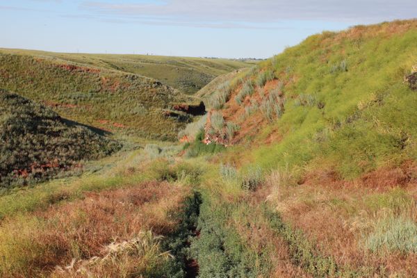
Difficulty 2; Terrain 3.5; size regular; Creator: Joci Date First Hidden: 5/13/2010 Date Last Found: 6/30/2010 Description There is some hiking required for this one from either way because it is in the hill side. So you could come from the top or the bottom to it. If you just stay on the old road what is there, it is easyer to get to it because it is just off of it, on the side of the road. You probably going to see some wild life here like deers or rabits !!! I put this one here because I like this park and though it is interesting to see this part of the coulees too. Because it is filled with this interesting red stuff. It is a red taped, regular sized LnL container filled with the usual swag !!! Hint Just under the road, on the side !!! Comments
PLANNING
I wanted to get back into geocaching in the Lethbridge area and noticed this one from the CARL2 event.
OUTCOME
This was my only search of the day. It had rained overnight and the ground was muddy and the tall grass was very wet. In a few minutes I was soaked from the knees down. I left home at 8:00 am, parked the truck at 8:15, and found the cache at 8:45. The sun broke through the clouds for a short time and the color on the red shale was beautiful.
Here is my posting to the geocaching.com website:
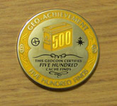
Lovely part of the coulee. The colors were bright in the early morning, but the grass was wet and the ground muddy. TN, left a geocoin, SL. TFTC. Here are a few photos:
cache area is near the white outcrop on the right
walking toward the cache area
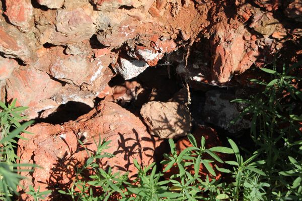
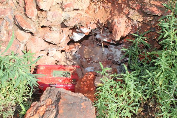
cache site
container was behind the rocks
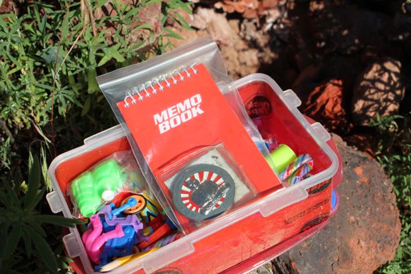
swag plus geocoin that was put in the container
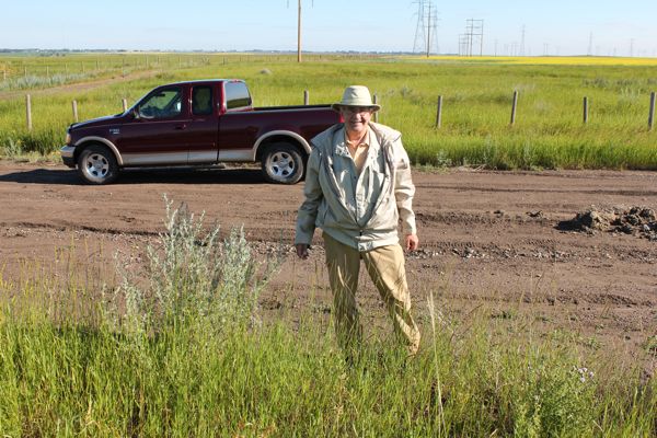
back at the truckI am now 1/1 for today.
