July10/2010 |
Geocache Activity 753 |
FIND 694 |
IDENTIFICATION
Difficulty 1.5; Terrain 1.5; size small; Creator: morningdrifter & Stitch1 Date First Hidden: 5/06/2010 Date Last Found: 7/04/2010 Description Long before the compasses and the GPS (not sure how anybody can survive without a GPS) early folk navagated the vast prairies by locating landmarks (or stars at night if you were smart enough to know whats what up there). By standing on a small rise on a clear day and look'in around you could tell a lot about where you were (or where you wish you weren't) From this rise to the southeast you can see the west butte of the Sweetgrass Hills in Montana, to the south the Milk River Ridge and to the southwest the flat top of Chief Mountain and if you have a real keen eye you might see the beginings of the Cypress Hills. Hint Can't beat a good GPS with fresh batteries Comments
PLANNING
This morning I made a quick sortie south of Lethbridge to search for 7 possible geocaches. The first cache had the incorrect coordinates posted and this threw me off. But the next 6 geocaches unfolded according to plan. My total is now 697.
OUTCOME
This was my 3rd search of the day. I was in a bit of a hurry as rain was forecast for later this morning and I was eager to bring my total number of finds close to 700. This would then make it possible for me to have my 700th find in Kingston, Ontario.
Here is my posting to the geocaching.com website:
Visibility was not so good this morning. I would hate to have to find these caches without a GPS! TNLNSL. TFTC.
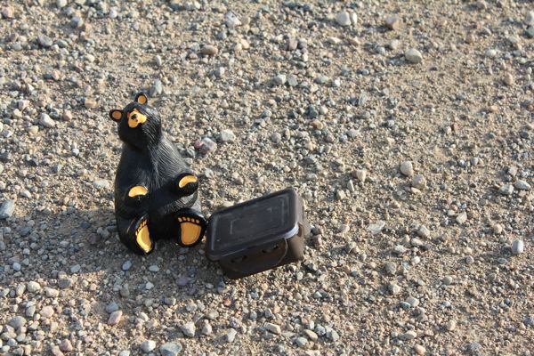
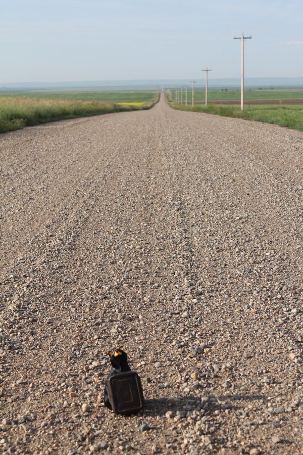
Here are two photos:
GeeCee with container
on a clear day you can see forever
I am now 3/3 for today.


