Mar 27/2010
|
Geocache Activity 618 |
FIND 562 |
IDENTIFICATION
Difficulty 2.5; Terrain 3; size micro Creator: PASSTRACKER Date First Hidden: 2/16/2010 Date Last Found: 3/21/2010 Description BYOP as this cache is a mirco. This cache is located at the east end of what is locally known as Frank Lake. It is not an actual lake, rather a widening of the Crowsnest River as it makes it's way through the Frank Slide. From this location you get an excellent view of the slide, the face of the mountain and where the "lake" becomes a river again. Enjoy the scenery! Hint In the trees, south and west. Comments
PLANNING
I created a plan for searching for 7 geocaches in the Hillcrest/Bellevue area of the Crossnest Pass. Looking at the descriptions for these caches I sensed there would be both some hiking as well as some difficult searches as there were a number of micro-sized caches in the group. I figured 6 searches would take much of the day and I was not too confident of finding all of them. On the other hand this is a beautiful part of the province and I enjoy being among the mountains at any time. The weather forecast was for sunshine but with some wind.
I was taking my sling pack as well as my Panasonic DMC-ZS3 camera. I am still trying to develop, and stick to, a more rigorous routine of keeping track of the timing of each search plus taking more photos of the search.
OUTCOME
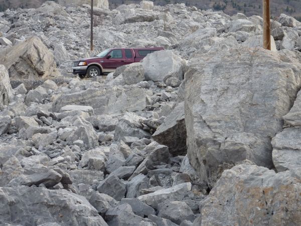
This was the second search in my plan to look for 7 geocaches. I left the truck at 9:50 am but did not find the cache until 10:32. It was a rough scramble to the cache area and then it took awhile before I finally spotted it. I would definitely rate the difficulty as at least a 2.5, and the terrain is easily a 3.
Here is my posting to the geocaching.com website:
This was my first real scramble among the rocks. Fascinating. The cache itself was a challenge. SL. TFTC. Here are the photos:
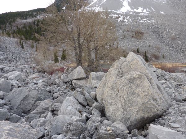
approaching the cache area
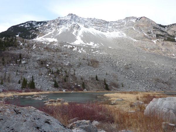
Lake's End
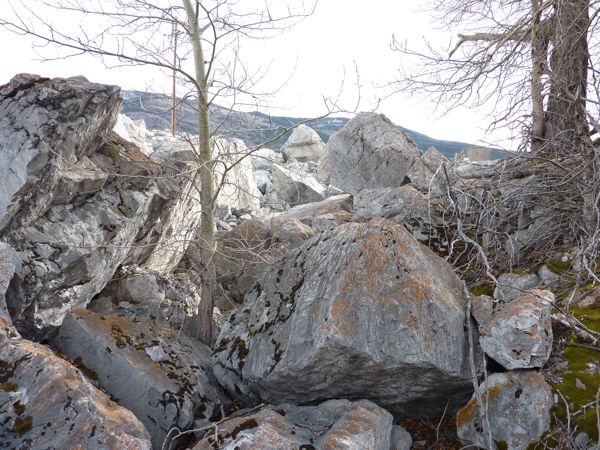
near the cache area
route back to the truck
I am now 3/3 for today.
