Mar 16/2010
|
Geocache Activity 608 |
FIND 552 |
IDENTIFICATION
Difficulty 1.5; Terrain 1.5; size regular Creator: cookinkuki Date First Hidden: 2/26/2010 Date Last Found: 3/14/2010 Description This is an easy cache, medium screw top container, and at a sight worth seeing While there please take time to honor the 189 coal miners who died in the Hillcrest Mine Disaster by viewing the monument at the entrance to the cemetery, smaller monuments list all other Canadian coal mining accidents in which 3 or more men died, it is worth your time. The miners were buried in two mass graves located at the western end of the cemetery and are surrounded by metal fencing, plus some individual plots with engraved interpretive panels near the mass graves telling the story of the town of Hillcrest and the disaster of June 19, 1914. Feel free to wander throughout this peaceful cemetery located below the scarred face of Turtle Mountain. Please be respectful of this site. Hint Comments
PLANNING
I was eager to begin today's activities. Yesterday I learned how to use geocaching.com's "Create Pocket Query" to obtain all the caches along a route (in this case Highway 3 between Pincher Creek and Sparwood). This gave me a total of 49 caches to search. This was a .loc file. (The geocaching.com website says that I should be able to obtain this as a .gpx file but I have not been able to figure out how to do this yet.) I then had to convert this to a .gpx file using a program called GPSBabel. I then used a program called Garmin Road Trip to see these caches located on a map on my Mac. This is the same map that my Garmin nuvi uses for its display. This gave me a clear picture of the location of each cache along the highway before I set out. I then downloaded these caches as a .gpx file to a file folder on the Mac desktop and I dragged this folder to the Garmin nuvi (in the folder called GPX) which was hooked up to the Mac. This may seem like a lot of work, and it is, but it is still much better than having to load each of the 49 web sites individually into the nuvi.
I took along my BT-335 data logger, my Garmin nuvi, my camera and my iPhone. I did not make any notes as I assumed I would be able to use my iPhone to obtain the cache descriptions and details. I also did not make any notes about the sequence of searching as I assumed the nuvi would always indicate which cache was the next nearest and that would work satisfactorily as I was basically following a linear route.
OUTCOME
This was my 10th search of the day. Fortunately a quick find. My iPhone is now dead. Here is my posting to the geocaching.com website:
Great location for a cache. Thank you for setting this one up. TNLNSL.
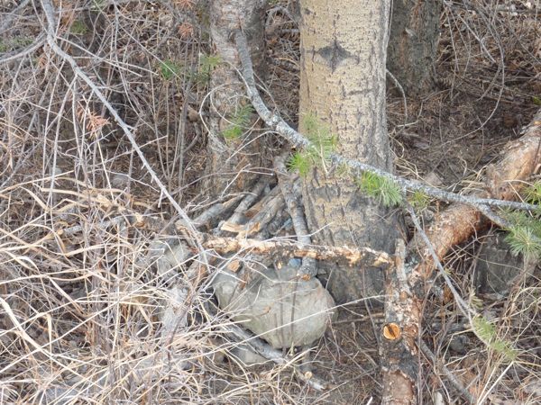
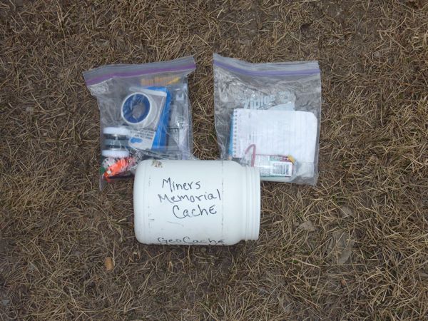
Here are two photos:
nice pile of sticks
good swagI am now 7/10 for today. I should have taken a few photos of the memorial plaque. Time to head home.


