Mar 16/2010
|
Geocache Activity 603 |
FIND 549 |
IDENTIFICATION
Difficulty 1; Terrain 1.5; size small Creator: greg007 Date First Hidden: 8/26/2007 Date Last Found: 3/8/2010 Description This cache is located in the Burmis Lake recreational area. The cache has had a spring cleaning. Including a new log book and some fresh goodies. (Thanks Jack and Aurore) The cache is stored in medium sized white plastic container. Burmis Lake is a day use recreational area located at the end of the TWP 72A road. It is a nice place for a picnic and the lake is stocked with fish. After you find the cache you may want to take a walk around the lake. There is a nice short trail that runs along the North side of the lake then up the rocky ridge on the West side. The brush is thick in spots and there are a couple points requiring a mild scramble up well worn rock. Watch your step on the way to the top. There is a good view of the Crowsnest River from the higher points on the ridge. Enjoy ! Hint Watch your step on the way up. To find this one you'll have look down. You will see a Burmis Tree. Comments
PLANNING
I was eager to begin today's activities. Yesterday I learned how to use geocaching.com's "Create Pocket Query" to obtain all the caches along a route (in this case Highway 3 between Pincher Creek and Sparwood). This gave me a total of 49 caches to search. This was a .loc file. (The geocaching.com website says that I should be able to obtain this as a .gpx file but I have not been able to figure out how to do this yet.) I then had to convert this to a .gpx file using a program called GPSBabel. I then used a program called Garmin Road Trip to see these caches located on a map on my Mac. This is the same map that my Garmin nuvi uses for its display. This gave me a clear picture of the location of each cache along the highway before I set out. I then downloaded these caches as a .gpx file to a file folder on the Mac desktop and I dragged this folder to the Garmin nuvi (in the folder called GPX) which was hooked up to the Mac. This may seem like a lot of work, and it is, but it is still much better than having to load each of the 49 web sites individually into the nuvi.
I took along my BT-335 data logger, my Garmin nuvi, my camera and my iPhone. I did not make any notes as I assumed I would be able to use my iPhone to obtain the cache descriptions and details. I also did not make any notes about the sequence of searching as I assumed the nuvi would always indicate which cache was the next nearest and that would work satisfactorily as I was basically following a linear route.
OUTCOME
This was my 5th search of the morning. This was a nice hike up a small ridge to the cache area and a quick find. Here is my posting to the geocaching.com website:
This looks like a lovely area in the summer. This was a quick find. TNLNSL. TFTC. The cache is in good shape and dry.
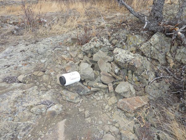
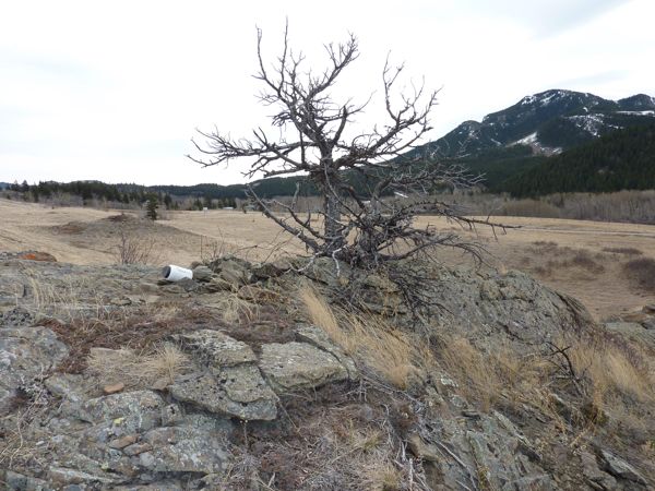
Here are two photos:
container
burmis treeI am now 4/5 for today. I forgot to take a photo of Burmis Lake, or of the ridge leading up to the tree.


