Mar 16/2010
|
Geocache Activity 602 |
FIND 548 |
IDENTIFICATION
Difficulty 2; Terrain 2; size regular Creator: Taylor, Kadie, Becky, Ken , Sharon Date First Hidden: 7/12/2008 Date Last Found: 2/14/2010 Description A short walk from a public parking area. Lees Lake was named after William Samuel Lee, one of the very first Caucasian residents in this part of the country. The Hudson’s Bay Company apparently recruited him in 1870 to set up a post for them at the confluence of the Oldman River and Pincher Creek, down near the present community of Brocket. Along with “Kootenai” Brown, Lee was having been in the prospecting party which in 1868 lost their pliers in the stream that came to be called Pincher Creek. The lake is a popular recreational area that is stocked with trout. It is a short diversion off the Crowsnest Highway. Medium sized plastic snap lock container. Hint Under a branch. Comments
PLANNING
I was eager to begin today's activities. Yesterday I learned how to use geocaching.com's "Create Pocket Query" to obtain all the caches along a route (in this case Highway 3 between Pincher Creek and Sparwood). This gave me a total of 49 caches to search. This was a .loc file. (The geocaching.com website says that I should be able to obtain this as a .gpx file but I have not been able to figure out how to do this yet.) I then had to convert this to a .gpx file using a program called GPSBabel. I then used a program called Garmin Road Trip to see these caches located on a map on my Mac. This is the same map that my Garmin nuvi uses for its display. This gave me a clear picture of the location of each cache along the highway before I set out. I then downloaded these caches as a .gpx file to a file folder on the Mac desktop and I dragged this folder to the Garmin nuvi (in the folder called GPX) which was hooked up to the Mac. This may seem like a lot of work, and it is, but it is still much better than having to load each of the 49 web sites individually into the nuvi.
I took along my BT-335 data logger, my Garmin nuvi, my camera and my iPhone. I did not make any notes as I assumed I would be able to use my iPhone to obtain the cache descriptions and details. I also did not make any notes about the sequence of searching as I assumed the nuvi would always indicate which cache was the next nearest and that would work satisfactorily as I was basically following a linear route.
OUTCOME
This was my 4th search of the morning. This was a pleasant walk to the cache area and a quick find. The first quick find of the day. Here is my posting to the geocaching.com website:
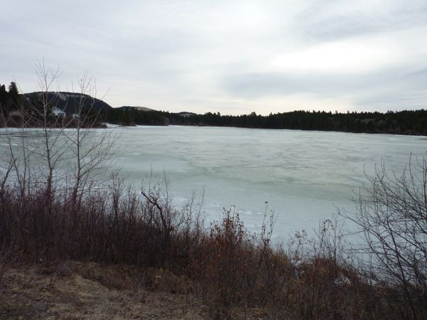
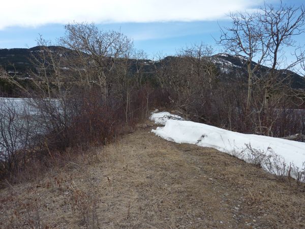
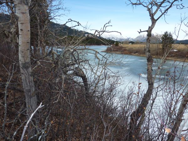
The snow is off the ground but the lake is still frozen. A nice stroll along a peninsula. TNLNSL. TFTC.
Here are some photos:
view from parking area
route along peninsula
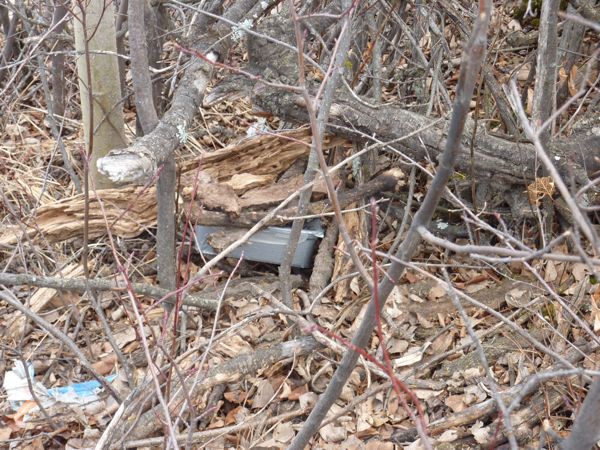
container
view from cache siteI am now 3/4 for today, but it is now noon.
