Mar 16/2010
|
Geocache Activity 600 |
FIND 546 |
IDENTIFICATION
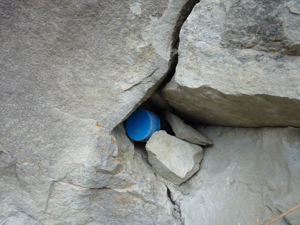
Difficulty 1.5; Terrain 1.5; size small Creator: iwetmyself2000 & Mooseman1966 Date First Hidden: 1/23/2005 Date Last Found: 3/10/2010 Description A scenic stroll along walking paths beside Pincher Creek A small cache that contains a assortment of stickers is hidden along the creek that wonders through Pincher Creek. This cache is a 2" x 6" piece of PVC pipe with blue caps. Park at the Pincher Creek Community Hall and find the access gate at the rear and follow your GPS. Enjoy. Hint Comments
PLANNING
I was eager to begin today's activities. Yesterday I learned how to use geocaching.com's "Create Pocket Query" to obtain all the caches along a route (in this case Highway 3 between Pincher Creek and Sparwood). This gave me a total of 49 caches to search. This was a .loc file. (The geocaching.com website says that I should be able to obtain this as a .gpx file but I have not been able to figure out how to do this yet.) I then had to convert this to a .gpx file using a program called GPSBabel. I then used a program called Garmin Road Trip to see these caches located on a map on my Mac. This is the same map that my Garmin nuvi uses for its display. This gave me a clear picture of the location of each cache along the highway before I set out. I then downloaded these caches as a .gpx file to a file folder on the Mac desktop and I dragged this folder to the Garmin nuvi (in the folder called GPX) which was hooked up to the Mac. This may seem like a lot of work, and it is, but it is still much better than having to load each of the 49 web sites individually into the nuvi.
I took along my BT-335 data logger, my Garmin nuvi, my camera and my iPhone. I did not make any notes as I assumed I would be able to use my iPhone to obtain the cache descriptions and details. I also did not make any notes about the sequence of searching as I assumed the nuvi would always indicate which cache was the next nearest and that would work satisfactorily as I was basically following a linear route.
OUTCOME
This was my second search of the morning. This proved as difficult as the first search. I spend almost an hour here as well. I spent quite a bit of time looking under juniper bushes and then wandered further and further from the site location but still with no success. I kept returning to the same area near the cliff face. Finally I noticed it. I couldn't believe I hadn't noticed it earlier (within the first few minutes!). Here is my posting to the geocaching.com website:
My second search of the morning. This took me much longer than it should have. Nice hide, but I should have spotted it more quickly than I did. Moral: have two cups of coffee before geocaching.
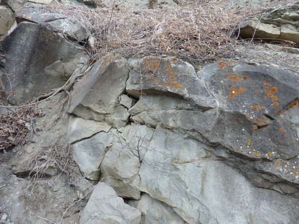
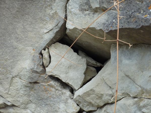
Here are some photos:
see it? (me neither)
close-up
finally
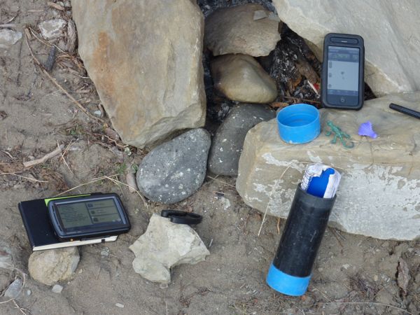
iPhone on right, Garmin nuvi on leftThis was a very beautiful area, but I forgot to take any pictures of the scenery. But I was thankful to finally have a "find".
I am now 1/2 for today, but it was now 10:00 am and I had only carried out 2 searches.
