Mar 14/2010
|
Geocache Activity 595 |
FIND 542 |
IDENTIFICATION
Difficulty 2; Terrain 3; size regular. Creator: kitkatt1960 Date First Hidden: 7/23/2006 Date Last Found: 11/21/2009 Description "Over Hill, Over Dale, and along a nature trail." This is a traditional cache with a few caveates. The first is parking: N 49 39.300 W 110 51.762 Second: Ensure that in warm or hot weather that you carry a Long walking stick... there are RATTLESNAKES in the area. Depending on the season and the heat, these snakes vary their hiding / sunning places. HEADS UP. The name of this cache is two fold applicable.... LOOK SOUTH!, and then count the peaks to get there! Good Hunting and enjoy the view!
Hint It may be red, and it may be round, but you cant roll this ball around. Comments
PLANNING
I have been wanting to place 2 or 3 caches in the area west of Medicine Hat for some time. This morning I gathered my gear together and took two containers with me to place in a couple of special spots. I then downloaded the details for 6 existing caches in that area that I might be able to look for if I have the time.
The first two existing caches were just off Highway 3 between Bow Island and Seven Persons. These turned out to be straight forward. The third cache was about 15 km south of Seven Persons just off highway 887. The cache was located in Red Rock Coulee, an interesting geologic site, which I knew about but had never visited. After finding this cache I headed out to the area where I was hoping to locate a couple of new caches. However it quickly became apparent that there was too much snow on the ground so I aborted that idea and focused on trying to find the remaining 3 caches which formed a loop along the back roads to Bow Island.
OUTCOME
This was my third search of the day. The view here lived up to my expectations - spectacular! The walk turned out to be a cold one (the wind was up and bitingly cold) and one had to pick one's way to avoid the soft spots where the mud was a potential problem. There was one other group in the area but fortunately they were a long way off and out of sight of where I was headed.
Here is my posting to the geocaching.com website:
I finally made it to this geologic wonder. The ground was beginning to soften up but there was little difficulty getting to the marble. TNLNSL. TFTC.
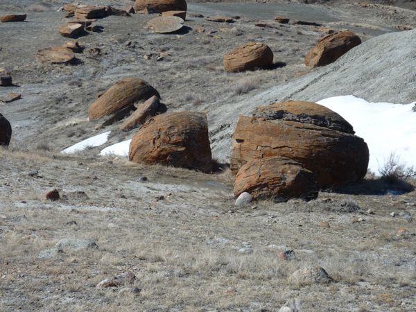
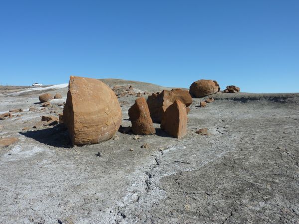
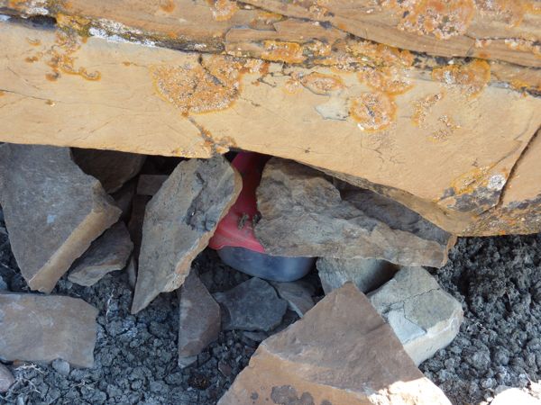
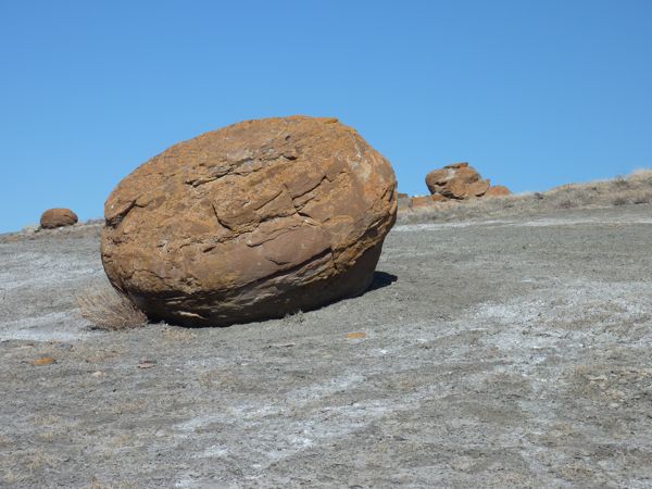
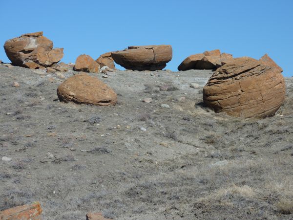
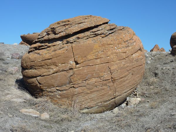
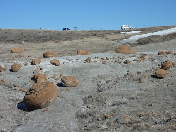
Here are a few photos:
Red Rock coulee
red rocks
cache
more red rocks
half a rock is better than none
still more
view of truck on leftI am now 3/3 for today.
