IDENTIFICATION
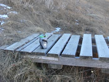
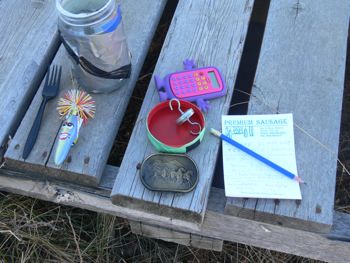
Difficulty 2; Terrain 4; size - regular. Creator: hawtway. Date First Hidden: Nov 23/08 Date Last Found: Nov 25/08. Description Our first cache, named after my caching partner. Skippy cache with Red Green Cammo. FTF belt buckle, also has TB and some magnets.
Hint Look under the high one Comments An experienced geocacher failed to find it, but two novices did.
PLANNING
It has been over 2 weeks since I last went geocaching. The weather is still unseasonably warm and I decided to go out for a stroll. When I checked the Lethbridge area to find a couple of coulee caches I noticed a new one had appeared on the west side. I noticed that it had only been out a few days and that 2 posts included one find and one DNF, by an experienced geocacher. The terrain was rated as a 4 so I was expecting a challenge.
OUTCOME
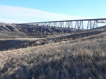
I continue to learn. I had looked at the map that indicated where it was before I left the house. Confident that I knew which side of the high level bridge to look I never even bothered to start my GPS up until I was already a long way from its location. Making a mistake on level ground is one thing. Making it on the edge of the coulee with the numerous side gullies and dense shrubbery is something else again.
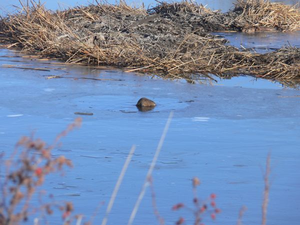
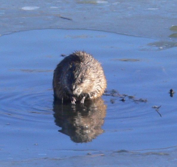
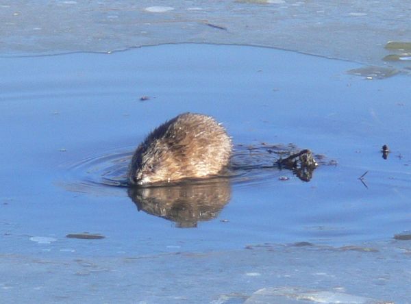
But the main goal was to get some exercise. Goal achieved. It is actually embarrassing to be so far out on one's first venture off the path. But I did have some great views, including an update of beaver activity on the par 3 golf course.
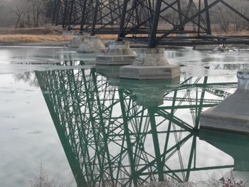
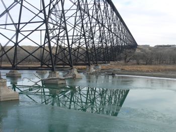
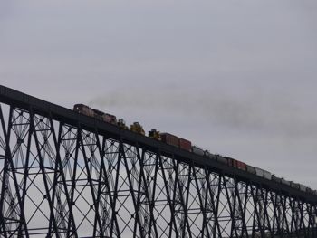
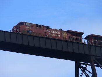
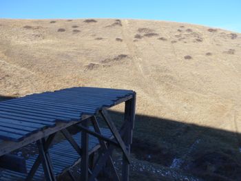
I continued along a path to the bridge, then passed under it going south (the cache is actually north of the bridge).
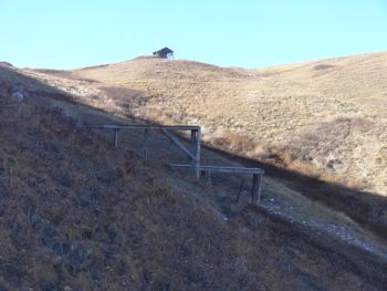
I continued south for a bit, then turned the GPS unit on and realized that it was up the side of the coulee and a little behind me. The problem was the scale of the map. It was actually about a half mile behind me. Not realizing this I wandered around the bridge for a bit and was totally confused because I had this idea that the cache was south of the bridge and I couldn't understand why the GPS kept saying to go north. If it ever comes down to a choice between man and machine, and the man is me, pick the machine. To make a 50 minute story short, I eventually found the right ravine and the cache. The view from the cache shows how far north of the bridge I needed to be.
I find it hard to believe that there are humans who will come down the hill on their bikes and fly off the ramp to land on a steep slope a few hundred feet below. I am tempted to put out a sign saying "Head-Smashed-In-Bicycle-Jump".
On the trek back to the car I flushed a male ring-necked pheasant. They are a beautiful bird. But the highlight of the trip was still ahead. I finally was back on the level path to the truck when I spotted a spot where there shouldn't be one.
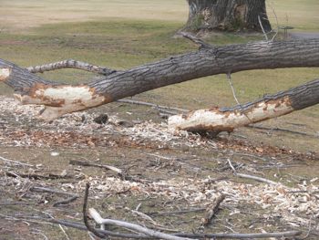
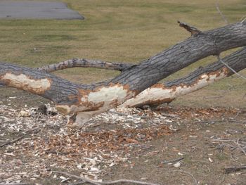
This is the first time I have seen a beaver in this pond, even though I could see his house and the damage he (she?) (they?) were doing to the trees.