IDENTIFICATION
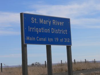
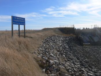
Difficulty 1.5; Terrain 1; size - micro. Creator: TeamDJM. Date First Hidden: Oct 5/08 Date Last Found: Oct 11/08. Description The St. Mary Canal, excavated by hand in 1898, was the first step in the St Mary River Irrigation District, a massive system that now includes 2 dams, 413 kilometres of canals and 3 principal storage reservoirs holding almost 600,000,000 cubic metres of water. The entire SMRID stretches from the Waterton Dam at Hillspring to Medicine Hat, and is one of 4 major Irrigation Districts in Southern Alberta. LOG ONLY - NO PENCIL. Park on road beside canal - Do NOT park on main road.
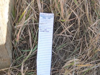
Hint Flat Comments This one is tricky. It took a few minutes to find it. Took a quick look but could not find it. Cold and windy so did not stay long. FTF. Found it. (Great hide)
PLANNING
The weather is glorious. I set up a sequence of 5 hunts while we were in Raymond.
OUTCOME
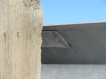
2:40 PM I found it after a 30 minute search. This was one of the delights of this sport. The hint was spectacular (in hind sight) and the actual cache was a new experience for me. I love it!
This was the 2nd of 5 caches that I hoped to find this afternoon while we were visiting Raymond. However if they all take this long to find I will run out of time.