IDENTIFICATION
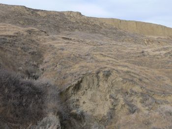
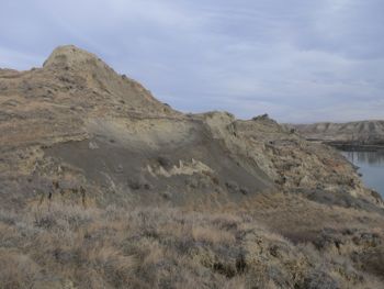
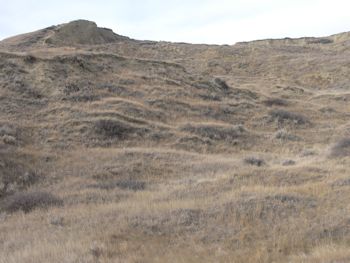
Difficulty 2.5; Terrain 4; size - regular. Creator: trolloc. Date First Hidden: Mar 3/04 Date Last Found: Oct 22/08. Description Not too long of a hike you can be back out in about an hour. There are lots of holes, some really deep ones!, so please be careful. Access from BELOW NOT ABOVE!!
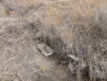
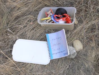
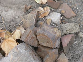
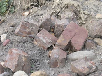
Hint Look in a Crack! Comments We've wanted to get this one off of our list for some time. So we climbed over the fence into private property (which we normally don't do) and thru the bushes and brambles (where a rabbit wouldn't go) and up. 30 min walk there and 30 back. A person might be able to get to it by walking along the river..... Cache is dry and in good shape. It might be in a crack or maybe a hole. Very few logs for this site.
PLANNING
The weather is staying unseasonably warm. There is some high cloud cover today but it is a good opportunity to complete my west Lethbridge coulee caches.
OUTCOME
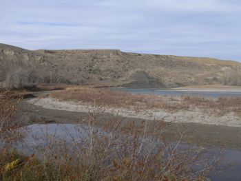
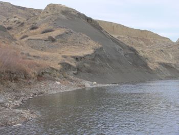
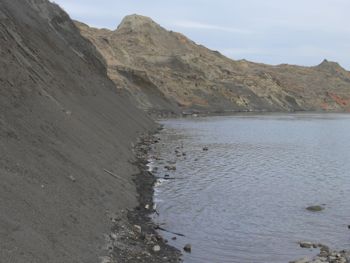
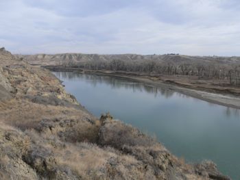
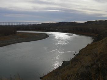
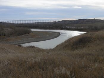
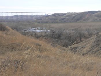
I left the house at 1:35 PM, and drove to the RV park near hwy 3. I left the truck at 1:45 and hiked along the shore of the Oldman River, climbing up the slope when my GPS unit said I was east of the cache. I arrived in the vicinity of the cache at 2:10 and found it at 2:15. I was back at the truck at 2:45.