IDENTIFICATION
Difficulty 1.5; Terrain 1.5; size - micro. Creator: Rock Chucks. Date First Hidden: March 15/06 Description Sunshine Trail / First Special Service Force Memorial Highway. An easy access pin trading micro cache. Please bring a pin to trade.
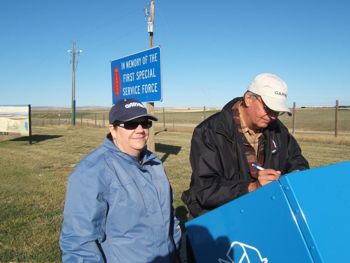
In 1912, with rural speed limits reaching 20 mph, the Sunshine Trail was the first road, designated for automobile use, linking Lethbridge, Alberta with Greatfalls, Montana. Later the Sunshine Trail reached from Edmonton, Alberta to Butte, Montana. The road was a graded trail, the low spots were leveled and small streams were bridged with the use of a culvert. Later a gravel surface was added to the road. It was not until 1947 that the Sunshine trail was paved in Alberta. In 1999 the main Highway between Lethbridge, Alberta and Helena, Montana was named "First Special Service Force Memorial Highway." The Highway was named in memory of the Americans and Canadians who trained at Fort Harrison, Helena, Montana, the Devil's Brigade.
Hints This cache has been posted!!! Comments My 1st attempt.
PLANNING
The main event today was a geocaching trip with two experienced searchers (Team DJM) to Coutts and the Milk River area of southern Alberta.
OUTCOME
We found all eight of the caches that we were after. This was #5 for the day, at 10:10 am.