|
Remote Sensing Group. |
|
University of Lethbridge |


|
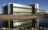
The new Alberta Water and Environmental Sciences building, opened in Fall 2008, contains modern remote sensing laboratory facilities as well as other cutting edge water and environmental science research. |
|
Home |
|
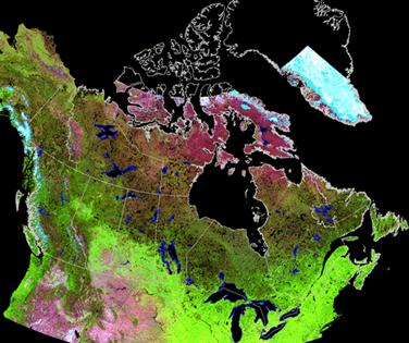
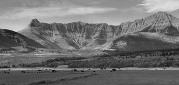
The Remote Sensing Group at the University of Lethbridge is composed primarily of faculty, students and other researchers from the department of Geography and the department of Physics and Astronomy. Remote sensing involves gathering information about objects without being in direct contact with the object. The information we gather comes from a wide variety of sensor types such as Earth observation satellites, airborne imagers, hyperspectral ground-based spectroradiometers and distributed sensor networks. This rapidly growing, technologically-driven science allows us to make detailed observations, measurements, and models of the world we live in and impacts on the environment. Remote sensing also includes scientists in the fields of medical imaging, image processing/computer science, and astronomy. At the University of Lethbridge, we have a wide range of scientists working in the field of remote sensing performing research at scales from the atom to the study of distant stars. We were honoured to have gotten to host the Canadian Symposium on Remote Sensing “Bridging Excellence” June 22-25, 2009 at the University of Lethbridge. |