| Mapping
a Prairie City: Lethbridge
and its Suburbs. |
An exhibition at the Southern Alberta Art
Gallery June - September 2011
Resource page
| Mapping a Prairie City... will be an exhibition
at the Southern Alberta Art Gallery in which artists, scientists, geographers,
architects, urban planners and other interested parties will take an
interested look at the region. |
Population: 83,960
First Nation: Niitsítapi (Blackfoot Confederacy)
Elevation: 927 metres (3041 ft.)
Climate: Semi-arid
Geography: Interior Plains
Time Zone: Mountain Time
Higher Education: College and University
Majority political persuasion: Conservative
Art Community: Strong and active
Nearest Major City: Calgary - 219 km
Nearest International Airport: 232 km
Major Public Art Gallery: Southern Alberta Art Gallery
Major University Art Gallery: University of Lethbridge Art Gallery
Regional Historical and Cultural Museum: Galt Museum and Archives
Alternate Galleries and Artist Organizations: Trianon Gallery, Trapdoor ARC, Mueller Gallery...
Community Arts: Bowman Arts Centre.
Performing Arts: Yates
Memorial Centre, University of Lethbridge.
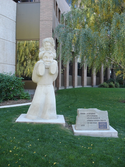
Architecture of note: modernist domestic architecture, SAAG renovation,
Galt Museum expansion
Religions: Many
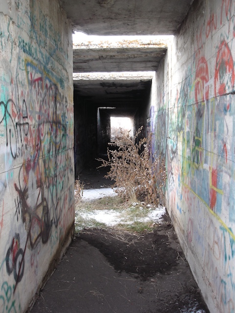
Wrong Side of the tracks: Northside
Major City Dividers: Crowsnest Highway, Railway tracks, The Coulee,
Whoop-Up Drive, Third Crossing, Mayor Magrath Drive, Scenic Drive, University Drive...
Restaurant Culture: Improving
Major Cultural Event: Whoop-Up Days
Bicycling: Not good
Walking: Not good
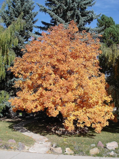
Access to outdoor activities: Excellent
|