DEM2TOPO is a program to generate vector contour levels from freely available digital elevation model (DEM) data. These contour vectors are ideally suited for upload to portable GPS units where commercial topographic maps are unavailable or inadequate. With a few simple steps and the appropriate software, topo maps can be uploaded to Garmin GPS units that support mapping (see the Using DEM2TOPO section, below). The program is designed for Canadian DEM files , but those for other countries using the ASCII version of the USGS DTED file format should work. GeoTIFF files are also supported, but currently only those written by 3DEM have been tested.
The Canadian Digital Elevation Data (CDED) consists of an ordered array of ground elevations at regularly spaced intervals. These CDED are based on National Topographic Data Base (NTDB) digital files at the scale of 1:50,000 and 1:250,000, according to the National Topographic System (NTS). This data set is no longer maintained, but still available for download at geogratis.gc.ca. The file format specification is available here and at the GeoGratis site.
DEM2TOPO is written in IDL, which is a high level interpreted language for scientific data analysis. Since it is an interpreted language, you must register, download and install the freely available IDL Virtual Machine to run the program, in the same way that the JAVA virtual machine is required for using JAVA code. IDL is platform-independant, and DEM2TOPO should work on Windows, Linux and Mac machines. You must download the full IDL installation in order to use the virtual machine. Alternatively, you can download this file which runs on Windows only and includes the virtual machine:
Download the prebuilt RT version.
If you already have the RT or VM version installed, you only need to download the zip file at the top and overwrite the dem2topo.sav file in your existing directory.
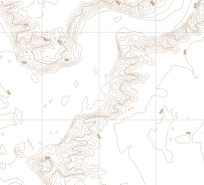
Click here for a sample polish format file (482 KB) created by DEM2TOPO, covering a local river valley. The contour spacings are 10, 50, and 100m. Simplification Factor is 1.
Using DEM2TOPO
License agreement
The program is beerware.
Can't send me a beer? Feel free to make a donation instead..
A handful of people have generously donated a few beers- you know who you are. Thanks. I think I've recouped about an afternoon's worth of effort so far..